Lake Saiko
Main content starts here.
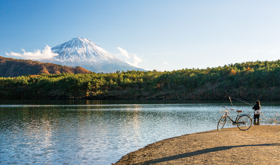
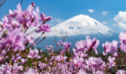
At just 2.1 square kilometers, Lake Saiko is the second smallest of the Fuji Five Lakes, though it is the second deepest with a maximum water depth of 71.7 meters. It is unusual compared to the other lakes in that it is surrounded by steep, wooded slopes on all sides, and Mount Fuji is visible only from the westernmost tip of the lake. This may account in part for the origin of its name, which translates to West Lake.
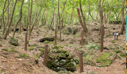
Lake Saiko’s surface elevation of 900 meters is identical to that of Lake Motoskou and Lake Shojiko, indicating that these three lakes were originally a single lake. They were formed as the result of a massive eruption of Mt. Fuji in the year 864, when an enormous lava flow filled the large prehistoric lake and separated it into three bodies of water. The remnants of the lava formed the base of the present-day Aokigahara Forest, and evidence suggests that the three lakes remain connected by underground waterways.
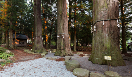
Historically, the Fuji Five Lakes were major destinations for worshipers of Mt. Fuji, who would perform ascetic rituals at each lake as part of their religious pilgrimages to the mountain.
The Lake Saiko area is far less developed than the neighboring Lake Kawaguchiko in terms of tourist infrastructure, making it a popular destination for those who enjoy hiking, camping, fishing, and other outdoor activities. Saiko Iyashi no Sato Nenba, a small craft village of thatched-roof farmhouses on the west side of the lake, also makes for a scenic stroll.
Category
Share
Venue Address
Saiko, Saikonishi, and Saikominami, Fujikawaguchiko-machi, Minamitsuru-gun
-
Attractions
-
Nature & Outdoors
-
History & Culture
Home of Mt. Fuji > Discover > Lake Saiko
YAMANASHI Home To Mt. Fuji