


HOME > HILLCLIMB > Introduction of hill-climbing courses > Otome-kogen Plateau Hill Climb
Main content starts here.

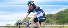
Otome-kogen Plateau Hill Climb
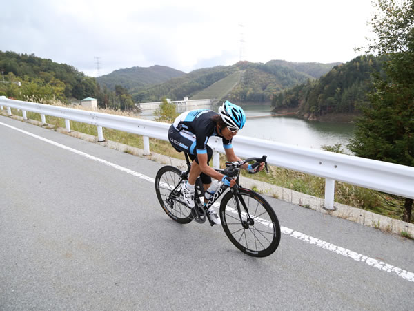
The Otome-kogen Plateau Hill Climb is a 15-km course that finishes at Otomeko Lake. This is the halfway point of the 30-km course to the peak of Odarumitoge Pass, so it is recommended if you are not confident about making it to the peak, or do not have enough time to go all the way to the peak, etc. The entire course runs on a straight line across Otome-kogen Plateau and has steep slopes with gradients of over 15%. At the finish line Otomeko Lake, it is possible to breath in the refreshing air while looking out at the surrounding mountains.

![]()
At the finish line Otomeko Lake, it is possible to look out at the beautiful surrounding mountains.

The most difficult part is the straight steep slope that begins at the starting point of the course. Here, it is best to use lower gears and rotate the pedals a lot in order to avoid overstraining your muscles. If you work too hard at the beginning, you will be more prone to losing momentum in the middle section and beyond. As such, it is best to pay attention to how you set your pace as you go up the hill.
Course guide
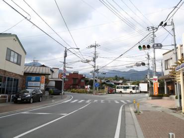
Departure from Kubodaira Intersection. Following the signs for “Crystal Line,” bear left at this Y-shaped intersection and then turn right.
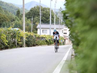
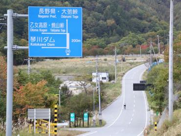
Go straight ahead and you will pass Yamanashi City Fuegawa Junior High School and Makioka Daiichi Elementary School on your right. Cross over Karisaka Road (Route 140), and a straight steep slope will start with expansive grape fields on both sides.
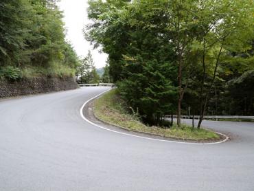
The straight section will end and you will enter a forest. There will be a series of ridges with a mix of straight and winding sections.
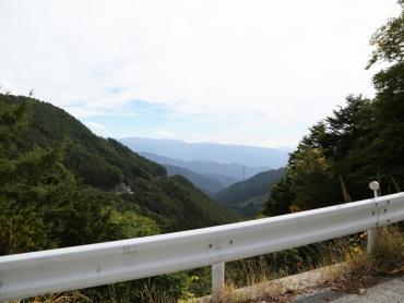
Once you come out of the forest, you will be able to see from the view just how high your elevation is. If the weather is good, it will be possible to see Mt. Fuji.
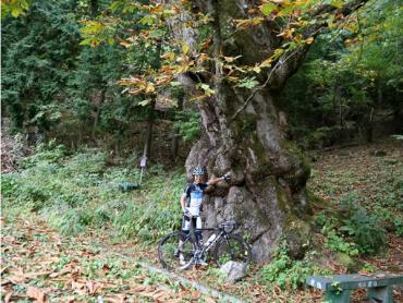
Proceed upward along Kotogawa River. Once you get higher and your field of vision has increased, there will be large Japanese horse chestnut trees on the right. You are almost at the finish line.
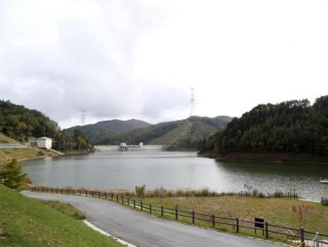
The finish line is Otomeko Lake, which is the location of Kotogawa Dam.
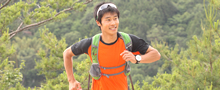
Imanaka comments, "If you can make it to Otomeko Lake, you can make it to Odarumitoge Pass." After resting at Otomeko Lake, if you decide to take on the challenge of making it to the peak of Odarumitoge Pass, another 15 km away, please see the "Odarumitoge Pass Hill Climb course."
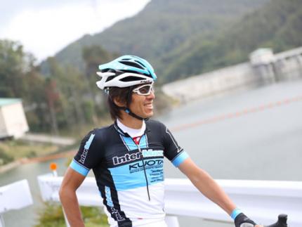
*Please note that the road from Otomeko Lake to Odarumitoge Pass closes during the winter, but it is still possible to go up to Otomeko Lake. Supervisor/model: Daisuke Imanaka, Former Professional Road-racing Cyclist; Representative, InterMax
Video of course
Course information
| Difficulty level |
|
Elevation difference | 1,021m |
| Travel distance | 14.6km | Gradient | Average of 6.8%, maximum of 15% |
Access
| Start | Kubodaira Intersection |
| Finish | Otomeko Lake (Kotogawa Dam) |
| Access by car | From TokyoChuo Expressway Hachioji Interchange -> Chuo Expressway Katsunuma Interchange, from here drive of 15 minutesFrom NagoyaTomei Expressway Nagoya Interchange -> Chuo Expressway Komaki Junction -> Chuo Expressway Katsunuma Interchange, from here drive of 15 minutes |
| Access by train | JR Chuo Main Line Enzan Station, from here bicycle ride of about 20 minutes |
Route map
近隣のスポットを探す
Click the below icons to display the facilities on the map.
![]()
![]()