


HOME > CYCLING > Introduction of cycling courses > Lake Kawaguchiko Tour Course
Main content starts here.

Lake Kawaguchiko Tour Course
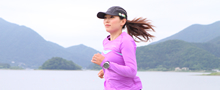
This is a course for beginners where you can enjoy the charms of Mt. Fuji and Lake Kawaguchiko to your heart's content. Cyclists can follow along the blue line on the road that shows the route. Lake Kawaguchiko is a main sightseeing spot near Mt. Fuji, so there are many different things that you can enjoy there.
※You can also rent bicycles at rental shops around Lake Kawaguchiko.

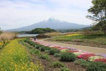
![]()
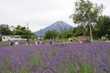
You can easily enjoy sightseeing spots and view points without worrying about parking. You can also enjoy a brief break from cycling to try a pleasure boat or some ropeway sightseeing.

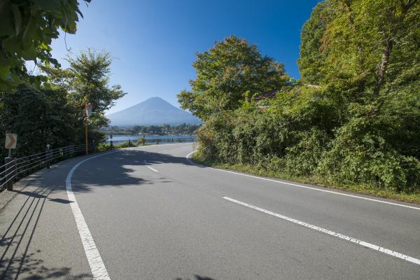
This course is flat throughout, so even beginners can enjoy it. It is also has a lot of curves, so it's an interesting course if you like cornering. Be careful as you cycle because there are many tourists and a lot of traffic!
Course guide
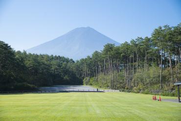
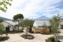
[Start/Goal]Fujisan Parking Lot
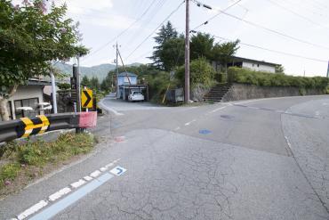
The course exits Fujisan Parking Lot and heads right. Turn left at the first branch in the road and keep going.
[1] Kawaguchikoohashi Bridge E. Intersection
Take a sharp right at Kawaguchikoohashi Bridge E. Intersection.
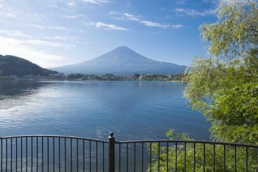
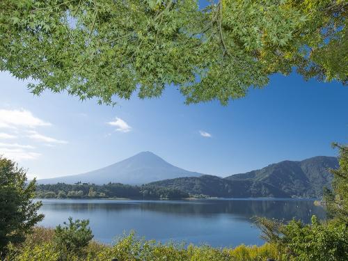
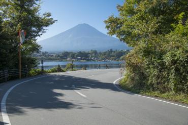
[2] View Point: Ubuyagasaki
This scenic spot at Lake Kawaguchiko is in the running to be the number 1 or 2 spot for viewing Mt. Fuji! On calm days, Mt. Fuji is visible in the reflection on the surface of the lake. This view point gets its name from the legend of Princess Konohanasakuya-hime who is said to have been born here.
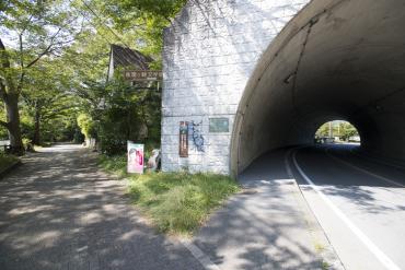
[3] In front of Ubuyagasaki Tunnel
The course turns left, goes left at the first branch in the road, and descends down a hill path.
It goes under Kawaguchikoohashi Bridge, climbs the hill, goes out from the foot of Kawaguchikoohashi Bridge, and follows the road to the left.
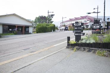
[4] The branched road behind Fuji-Kawaguchiko Tourist Information
At the branched road behind Fuji-Kawaguchiko Tourist Information, the course continues to the left and goes toward the north bank of Lake Kawaguchiko.
[5] View Point: Just past Oishi Park
The course goes past Oishi Park and continues southward with Mt. Fuji coming into direct view.
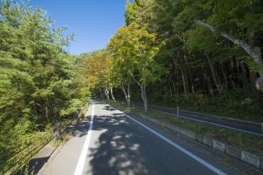
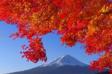
[6] View Point: Momiji Corridor
The maple leaves lining the road like a tunnel have made this a famous spot for viewing brightly colored leaves in autumn. The endless photo possibilities featuring Mt. Fuji, Lake Kawaguchiko and even the maple leaves make this a can't-miss spot for instagramming!
[7] The branched road just past Yagizaki Park
At the branched road behind Yagizaki Park, the course continues left along the shore of Lake Kawaguchiko and goes under Kawaguchikoohashi Bridge.
[8] Kawaguchiko Kitahara Museum Happy Days
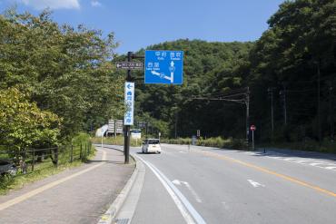
Turn right at Kawaguchiko Kitahara Museum Happy Days, and turn left at the T-shaped Kawaguchikoohashi Bridge E. Intersection.
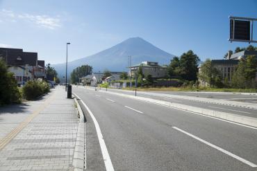
[9] Route 707
You can see a direct view of Mt. Fuji from Route 707. The course continues along this road, returning back to Fujisan Parking Lot.
Course information
| Difficulty level |
|
Elevation difference | 49 m |
| Travel distance | Approximately 26 km | Gradient |
Access
| Start | Fujisan Parking Lot |
| Finish | Fujisan Parking Lot |
| Access by car |
From Tokyo: [When using the Chuo Expressway] Chuo Expressway Hachioji Interchange -> Chuo Expressway Kawaguchiko Interchange, from here drive of about 5 minutes [When using the Tomei Expressway] Tomei Expressway Tokyo Interchange -> Gotemba Interchange -> local road -> Higashifuji-goko Road Subashiri Interchange -> Fujiyoshida Interchange, visible from here From Nagoya: Tomei Expressway Nagoya Interchange -> Gotemba Interchange -> local road -> Higashifuji-goko Road Subashiri Interchange -> Fujiyoshida Interchange, visible from here From Shizuoka: Tomei Expressway Fuji Interchange or Shin-Tomei Expressway Shin-Fuji Interchange -> National Route 139, from here drive of about 1 hour and 30 minutes |
| Access by train | Fujikyuko Line Fujisan Station, from here bicycle ride of about 25 minutes on local road |
Sightseeing spots in the area

Route map